ECN site code: T12
DEIMS.iD: https://deims.org/5a04fee1-42aa-47e9-abfc-043a3eda12ac
ECN monitoring by: UK Centre for Ecology & Hydrology
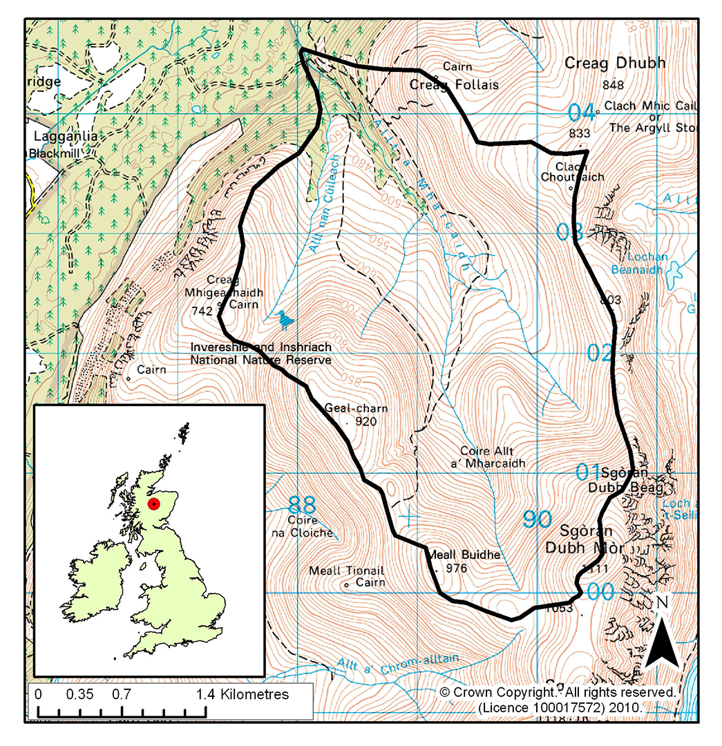
Co-located ECN stream site: Allt a'Mharcaidh (R14)
Min. altitude: 320 m
Max. altitude: 1110 m
Area of site: 1000 ha
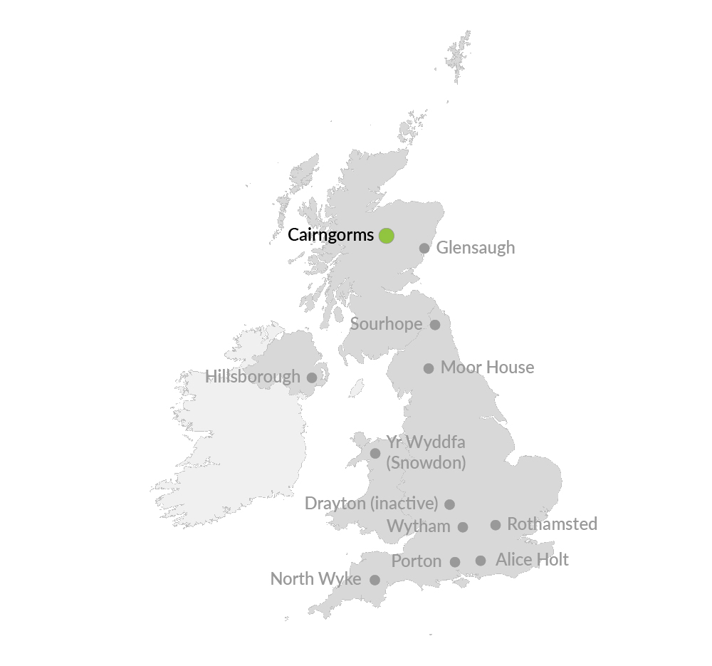
The Cairngorms site, which joined the ECN network in summer 1999, is located high in the Cairngorms, near Aviemore in Speyside. The site lies on the western flank of the Cairngorms and is the catchment of the Allt a' Mharcaidh (a site in the ECN freshwater network). It is part of the Invereshie and Inshriach National Nature Reserve, within the Cairngorms National Park, and covers some 10 km2. The site is supported by NatureScot and the Natural Environment Research Council (through the UK Centre for Ecology & Hydrology). ECN monitoring at the site is co-ordinated by UKCEH.
ECN Cairngorms is also part of the UK's first Long-Term Socio-Ecological Research platform, the Cairngorms National Park.
Keep scrolling to view the Cairngorms web cam
This site is in the UK's sub-arctic zone and is an important link, not only to other upland ECN sites, but also to sites in the Alps and Pyrenees (GLORIA network) and to networks in the Arctic (INTERACT network).
The site is ideally placed to monitor changes in:
- Tree colonisation - Mature trees (principally Scots pine, Pinus sylvestris) at the site are confined to a relatively small part of the lower ground and there had been no significant regeneration over the last two centuries due to heavy grazing by deer, and burning. However, a reduction in deer grazing began around 20 years ago and colonisation by saplings is now widespread
- Climate change - The site straddles the zones of increasing winter precipitation and decreasing summer precipitation whilst there is also evidence of increasing windiness. The specialised arctic-alpine plant communities found at the site can be used to provide an interesting early warning system for possible effects of climate change on habitats located further north in the arctic
- Hydrology - This is one of the longest recorded snow sites in the UK and is also a complete gauged catchment
- Pollution - Levels of air, water and soil pollution at the site are relatively low compared to other parts of the UK, and the site therefore provides a good control area
- Vegetation change - There is an excellent altitudinal sequence of communities, from Caledonian pine woodland at 300m up to arctic-alpine vegetation at 1100m.
The Cairngorms site has been used intensively for research since the 1970s. An Automatic Weather Station (AWS) has been operating at the site since 1984 and was used in the Surface Water Acidification Programme from 1984 to 1994. UKCEH and MI have used the site for long-term hydrological and snow studies for about 15 years. From 1997-1999 it was one of the ECOMONT (land use change in mountain areas of Europe) sites. Researchers at several universities and institutes use the site for vegetation, soils and nutrient cycling studies. The site forms part of the larger Feshie catchment in the NICHE programme (National Infrastructure for Catchment Hydrology Experiments).
You can read more about UKCEH research and monitoring in the Cairngorms area on the UKCEH website.
During the eLTER H2020 project (2015-19), research access to ECN Cairngorms was financially supported via the eLTER Trans-National Access Programme. The Cairngorms site was one part of the 'Burnsmuir and Cairngorms LTSER' umbrella.