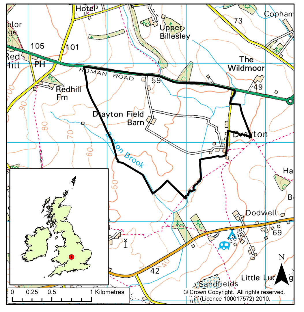
ECN site code: T01
ECN monitoring was carried out by: ADAS
Min. altitude: 40 m
Max. altitude: 80 m
Area of site: 190 ha
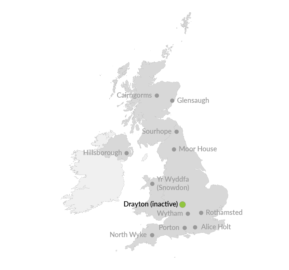
ECN monitoring was discontinued at Drayton at the end of 2013. However, datasets are still available covering the years 1993 to 2013.
A heavy clayland site, representative of 2 million hectares of similar soils in lowland England, where agricultural experiments were conducted for 50 years. The farm system was based on autumn-sown combinable crops and grassland. Hedges and ditches contributed to biological diversity.