ECN site code: T11
DEIMS.ID: https://deims.org/8b5da977-eed8-459f-b663-f3835aa0b356
ECN monitoring by: Cyfoeth Naturiol Cymru - Natural Resources Wales
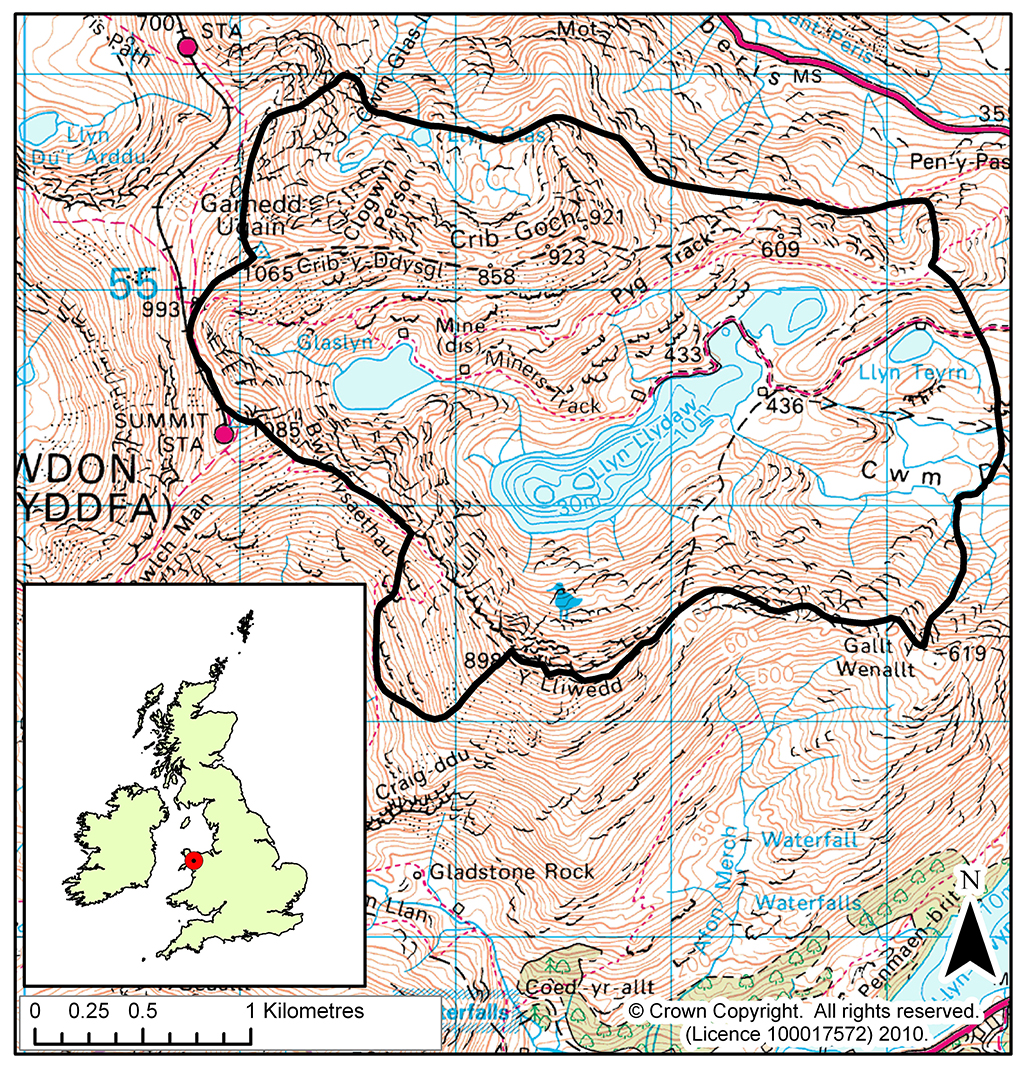
Co-located stream site: Nant Teyrn (R29)
Min. altitude: 298 m
Max. altitude: 1085 m
Area of site: 700 ha
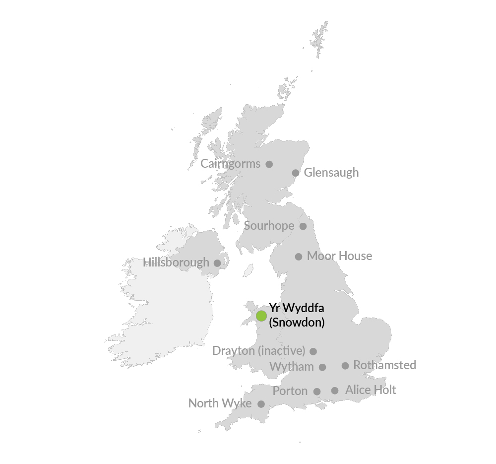
Yr Wyddfa* / Snowdon is an upland ECN site incorporating the summit of Yr Wyddfa or Snowdon, the highest mountain in England and Wales, 19km south-east of Bangor in North Wales. It is co-located with the Nant Teyrn freshwater site. The altitude ranges from 298-1085m and includes three additional summits over 800m. The bedrock is a mixture of Ordovician acidic and basic volcanic rocks, with localised igneous intrusions. Evidence of glaciation is widespread, with prominent corrie moraines. There are five lakes within the site, three of which form a 'staircase'. The soils are varied and include brown podzolic soil, gleys, organic peat soils and humic rankers. The dominant vegetation is acidic grassland with Festuca ovina (sheep's fescue) and Agrostis sp (bent grass) in the drier areas and Nardus stricta (mat grass) in the wetter areas. The site is part of the Yr Wyddfa / Snowdon National Nature Reserve, managed by the Natural Resources Wales under agreement with the owner. The land is largely unenclosed and grazed by sheep, cattle and a small herd of feral goats, though some sections of the site are fenced off from grazing animals.
*Pronounced 'er-wuth-ver'