ECN site code: T02
DEIMS.ID: https://deims.org/1c4d454d-0c00-49f9-a7fe-3a3e596c3648
ECN monitoring by: The James Hutton Institute
Co-located ECN stream site: Birnie Burn (R27)
![]() COSMOS-UK soil moisture monitoring
COSMOS-UK soil moisture monitoring
Min. altitude: 137 m
Max. altitude: 487 m
Area of site: 1125 ha
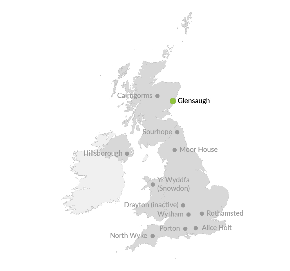
Glensaugh* is located 35 miles south west of Aberdeen, NE Scotland on the edge of the Grampian hills and covers over 1100 hectares. There is a small amount of woodland (and some short-term and permanent grassland) but the dominant cover is semi-natural vegetation which accounts for the remaining area.
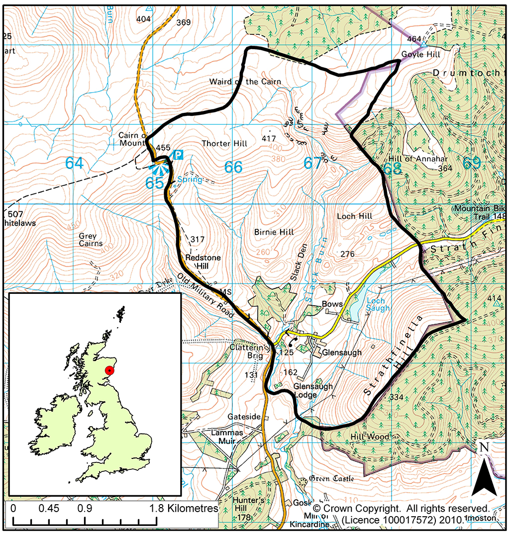
Much of the ECN monitoring is carried out towards the northern boundary of the research station in the small upland catchment of the Birnie Burn, which is a co-located ECN monitoring site. The highest ground in the catchment reaches 450m. There is an average annual rainfall of around 1200mm. Winters can be severe and snow may lie in patches until late March. The meteorological conditions are recorded both manually and automatically with a weather station that is capable of transmitting real-time data back to the institute.
The target sampling site is located at an altitude of 300m on heather dominated (Calluna vulgaris) moorland interspersed with patches of blaeberry (Vaccinium myrtillus). It has a westerly aspect and straight slopes of up to 20o. The soil is predominantly freely draining humus iron podzol of the Strichen Series.
The water chemistry sampling point, flume and in-stream measurements are made on the Birnie Burn at an altitude of 240m. The catchment area above the sampling point is around 100ha. Precipitation and atmospheric chemistry samples are collected adjacent to the stream at a similar altitude.
Glensaugh is a soil health research 'living laboratory'.
*Pronounced 'glensock'