What is a warm front?
A warm front occurs at the leading edge of a warm air mass that is moving to replace a cooler air mass. We already know that warm air moves over the top of cold air. This is because the air masses have different temperatures and densities. Warmer tropical air is forced over the cooler polar air. This forms a bulge on the front called a warm front.

Diagram showing a warm front. The warm air mass is moving to replace the cooler air mass and at the boundary a warm front forms.
Fronts can be several hundred kilometres in width. The air behind a warm front is warmer than the air ahead of it. If a warm front passed overhead when you were standing outside, then you would feel the air warming up. The air would also be more moist (humid) than before.
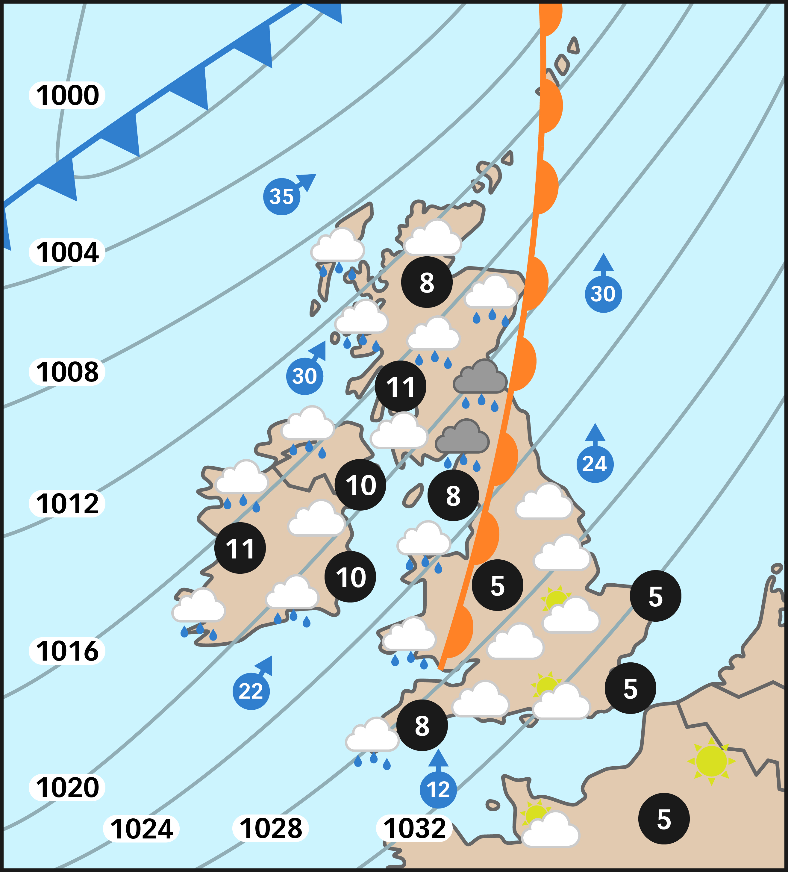
Let's now look at a weather forecast map showing a warm front. Study the map carefully and then answer the quiz questions to help you understand how to recognise a warm front.